LandHawk – Responsible Land Development Made Easier.

Accelerate your off-market land acquisition and development projects with the UK’s most intelligent land search and assessment Proptech software built on GIS. Find development land online at pace, scale and with greater accuracy than the alternatives.
Trusted by the UK's leading land & property developers

Your secret weapon for finding and assessing land understanding market value environmental due diligence

Find development land online - fast

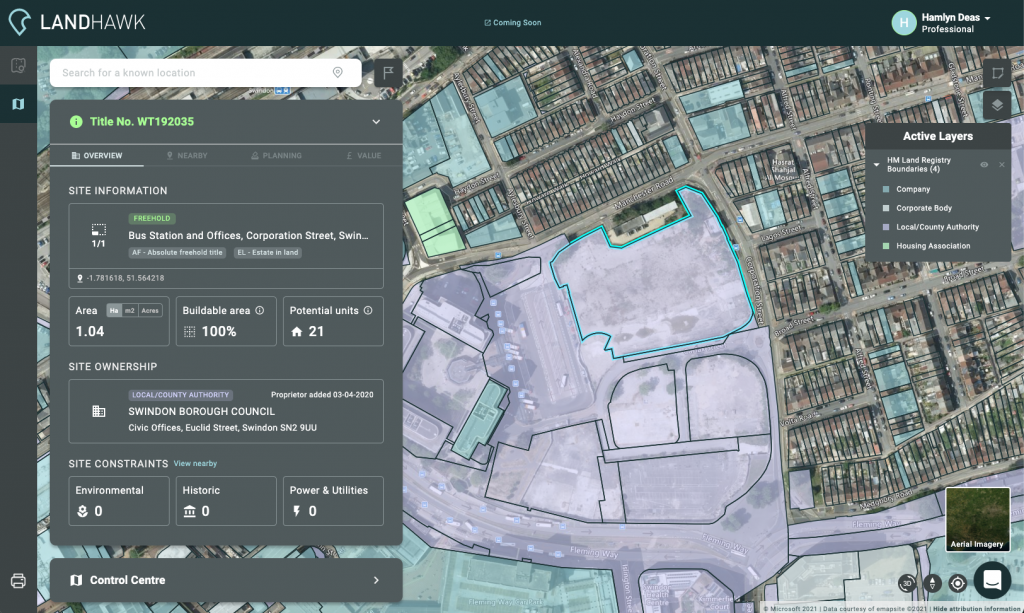
LandHawk’s clutter-free interface helps you find the most important information when searching for or assessing a potential site. Instantly view essential information for any given land parcel in the UK and uncover its development potential at a glance.
See everything in one place

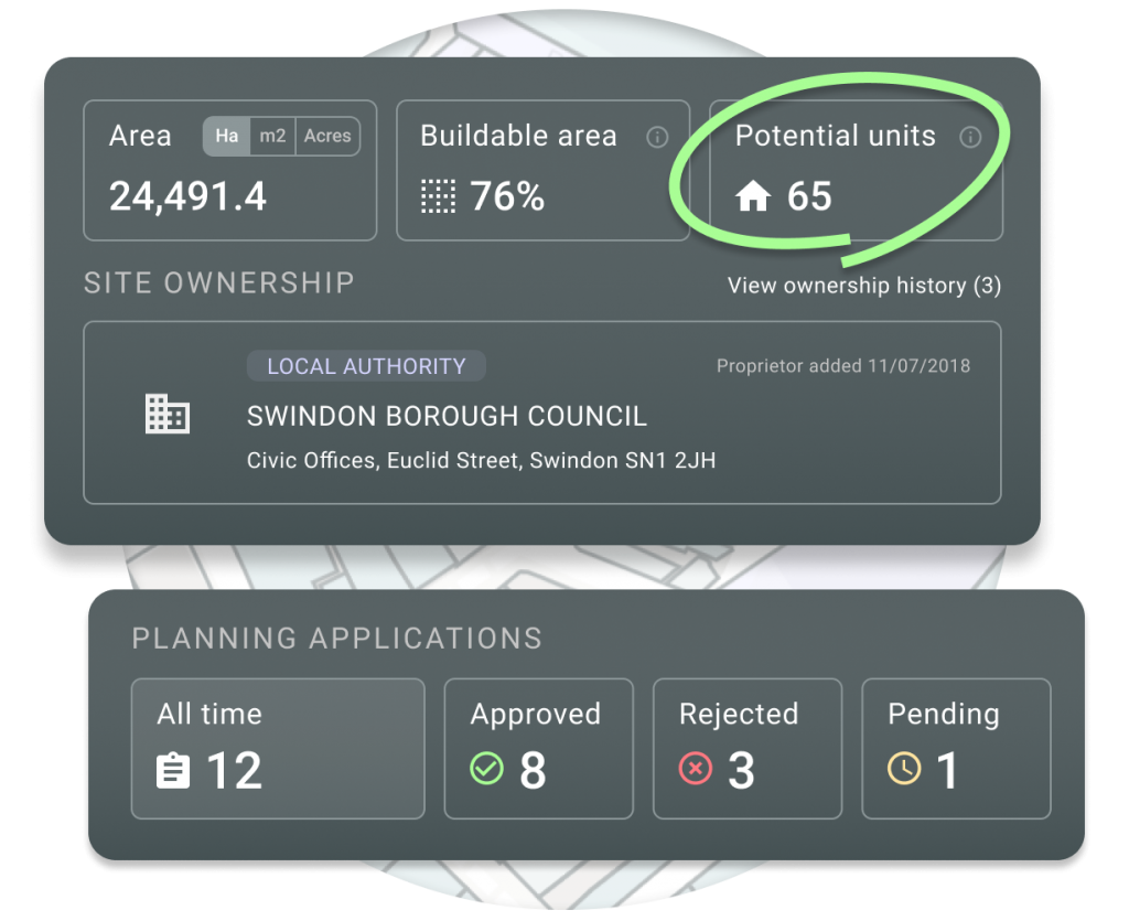
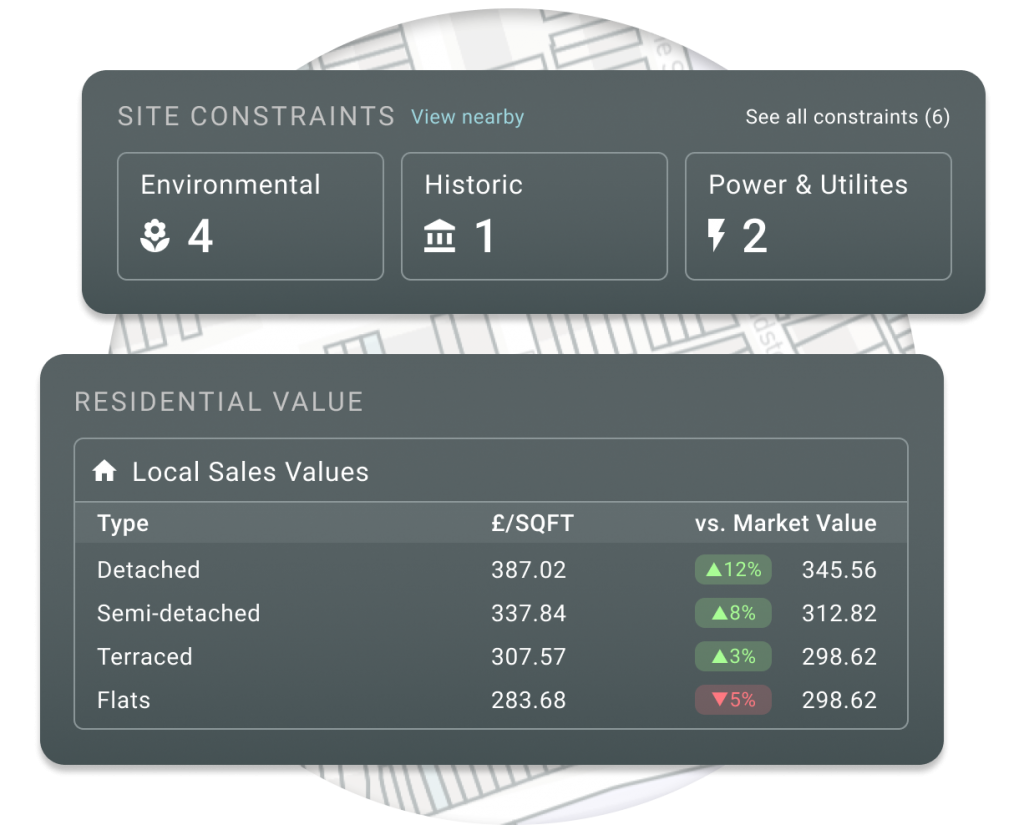
LandHawk combines hundreds of disparate data sources to provide powerful geospatial insight for millions of sites across the UK. Quickly reveal area insights that could impact your development such as site constraints, planning application status, or residential sales values.

Share your work in seconds

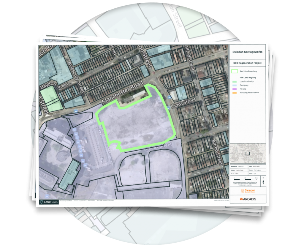
Keep projects moving with beautiful, professional-grade maps that can be created in seconds as part of land buying, planning, or environmental due diligence. Enhance your maps with custom branding for your clients or organisation, and export in a range of paper sizes suitable for printing.
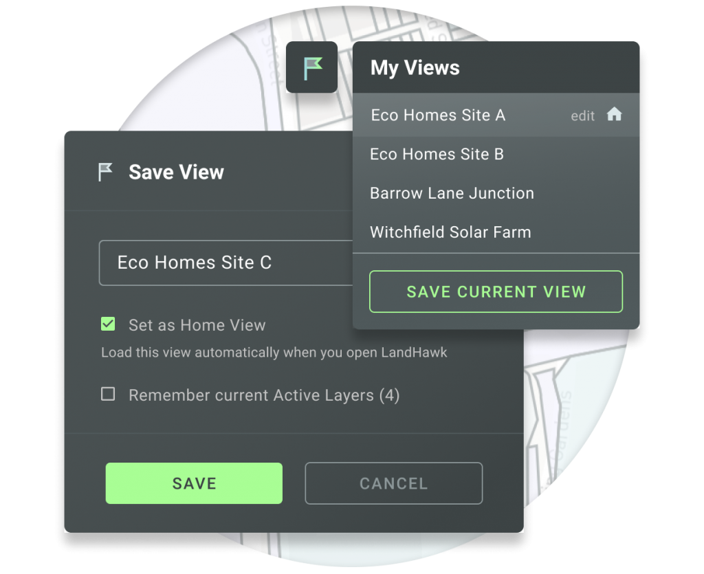
Pick up where you left off

Make LandHawk your own and speed up multiple site assessment workflows with saved views. Jump straight in to your favourite locations and activate previous map layer configurations to quickly revisit sites with the information you need at your fingertips.

Created by industry professionals, for industry professionals

Land-agents-and-palnners-using-landhawk-software

Land Agents & Developers

Quickly and efficiently identify off-market land parcels with thorough assessment of the development opportunity and risk.
Planning-and-development-consultant-town-planning-with-landhawk

Planning Consultants

Comprehensively evaluate the effect of a new development, with surrounding insights that inform and help to ensure success.
environmental-services-planning-survey-onsite-renewable-energy

EnvironmentAL COnsultants

Rapidly review developments spatially in the context of surrounding constraints and print these into beautiful and informative maps.
“We cut down our site appraisal time for Local Authority clients from 4 weeks to 2 days by using LandHawk. We can now deliver a higher volume of projects, more reliably and quicker than before.”

Dan Gregory - Development Manager

“By harnessing LandHawk’s geospatial intelligence and the team’s experience, we saved our client weeks of work. We did this without compromising on the quality and detail of the results too. “

Sean Cleary - Associate Director, Urban Designer

Why choose LandHawk?
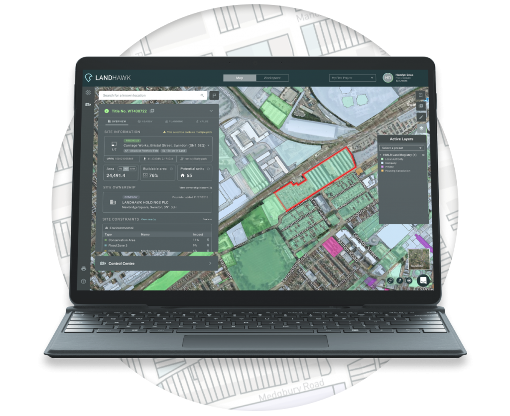
We don’t believe in charging our users based on their map data usage. This is why all LandHawk plans include unlimited title lookups as standard, so you can focus on the features that really matter to you.
LandHawk is driven by 100+ trusted, reliable data sources to ensure that all the information you see is accurate and up to date. We also use our own formulas and calculations to offer additional insight where possible.
We know that not everyone is as tech-savvy as us, which is why we’ve designed LandHawk to be as easy to use as possible. Our team are on hand to help you at every step of the way – no matter your experience.
Our team of geospatial experts can help you build unique instances of LandHawk to meet your organisation’s specific needs. Talk to us today to find out how we can customise LandHawk for you.

It’s no secret that the UK’s planning system is in crisis. If building 300,000 homes a year and slashing emissions wasn’t enough of a challenge for our industry, we now have to do it all faster than ever before.

This is why we built LandHawk - to make geospatial intelligence accessible to everyone, and in doing so enable better decision making and a more responsible, sustainable approach to land and property development.

We’ve already helped Local Authorities, Planning Consultancies, and Land Agents take on more development projects by supercharging their workflow with LandHawk. I’d love for you to give it a try, and hopefully you’ll love it too!

Tim Hughes

CEO & Founder of LandHawk
Helping to build the future with geospatial technology and services

LandHawk Platform

Our powerful mapping and intelligence software is the foundation of everything we do, providing the right tools and data to make building better places easier for everyone

LandHawk API

Our growing API offering allows others to harness the power of LandHawk's reliable and comprehensive data libraries through industry-leading GIS solutions

LandHawk Services

Our team of geospatial and technical experts are on hand to provide tailored services that keep your projects moving, from enhanced site search to land referencing

Partner with us

Join the growing list of international developers, local authorities, and data providers that are helping to make a difference by working with LandHawk

Find out how LandHawk can help you